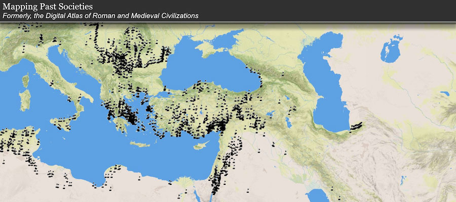
Mapping Past Societies, formerly the Digital Atlas of Roman and Medieval Civilizations, makes freely available on the internet the best available materials for a Geographic Information Systems (GIS) approach to mapping and spatial analysis of the Roman and medieval worlds. Mapping Past Societies allows innovative spatial and temporal analyses of all aspects of the civilizations of western Eurasia in the first 1500 years of our era, as well as the generation of original maps illustrating differing aspects of ancient and medieval civilization.
The resource is currently undergoing a technical update. To ensure data access, the current DARMC version remains online.
Learn More & Explore