The Ancient World Mapping Center is an interdisciplinary research center at the University of North Carolina at Chapel Hill.
The Center promotes cartography, historical geography, and geographic information science as essential disciplines within the field of ancient studies through innovative and collaborative research, teaching, and community outreach activities.
The Center invites inquiries from scholars, authors, educators, students, and the general public engaged in (or contemplating) projects related to cartography, historical geography, and geographic information science in the context of ancient studies. AWMC is committed to facilitating discussion, guidance, information exchange, collaboration, and access to cartographic and bibliographic resources in cooperation with such projects.
AWMC continues the work of the Classical Atlas Project that produced the landmark Barrington Atlas of the Greek and Roman World (R. J. A. Talbert ed., 2000). With the publication of the print edition of the atlas in 2000, the Center began its work as an institute devoted not only to the continuation of the work of the atlas itself, but also to the advancement of a research agenda focused on the geography of the ancient Mediterranean world. The Center promotes its own independent research projects and also collaborates with scholars to produce maps on specification for scholarly publication. AWMC continues to refine the geographic dataset (both cultural and physical) for the ancient world in partnership with Pleiades.
Since its foundation, AWMC has been engaged in the creation of map content for use both in scholarly publication and in the classroom. As the technology that drives mapmaking continues to advance, AWMC now creates maps using means much different than those of a decade ago. The latest mapmaking application aimed at developing maps for classroom use is the Antiquity À-la-carte application that allows the user to create their own maps. AWMC encourages educators and all others interested in mapmaking to become part of the À-la-carte community.
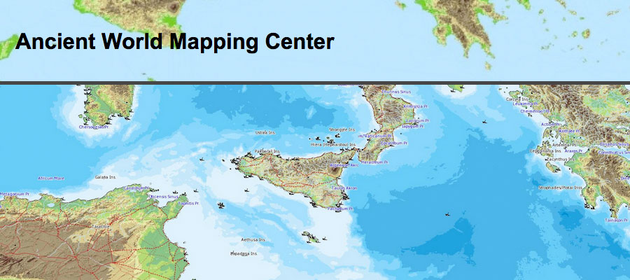
AWMC hosts a series of freely available maps that are available for free educational use (under the CC BY-NC 3.0 license) and also can be licensed for publication at nominal cost. These maps are organized according to rough geographic regions.
Learn More & Explore